GIS · Pipeline Monitoring · Geospatial Intelligence

Smart Pipe 360 —
Pipeline Monitoring
Using Geospatial Approach

One system. Multiple value. Smart Pipe 360 is a subscription-based GIS platform for pipeline monitoring and surveillance — delivering real-time visibility, leak detection, and geospatial mapping for water, gas, and oil pipeline networks.

Water Gas Oil
GIS Pipeline Mapping
DGPS survey & accurate geospatial maps
Leak Detection & NRW Management
Identify leaks within 1-metre accuracy
18 Smart Modules
Assets, WO, complaints, pump, stock & more
Web & Mobile — Cloud-Based SaaS
Subscription licence edition
Overview

What is Smart Pipe 360?

OEM Product by Ingroinfo Infra Pvt Ltd

Smart Pipe 360 is a SaaS-based pipeline monitoring and surveillance platform that uses a geospatial approach to help utility companies plan, evaluate, monitor, and maintain their pipeline assets for the best outcomes.

Ingroinfo Infra Pvt Ltd is the OEM for Smart Pipe 360 — a customer-driven enterprise IT company with a focus on data-driven web applications, mobile apps, GIS/Mapping-based services, and cloud-based solutions for water, gas, and oil pipeline operators.

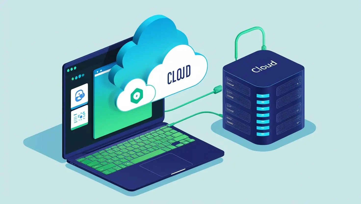
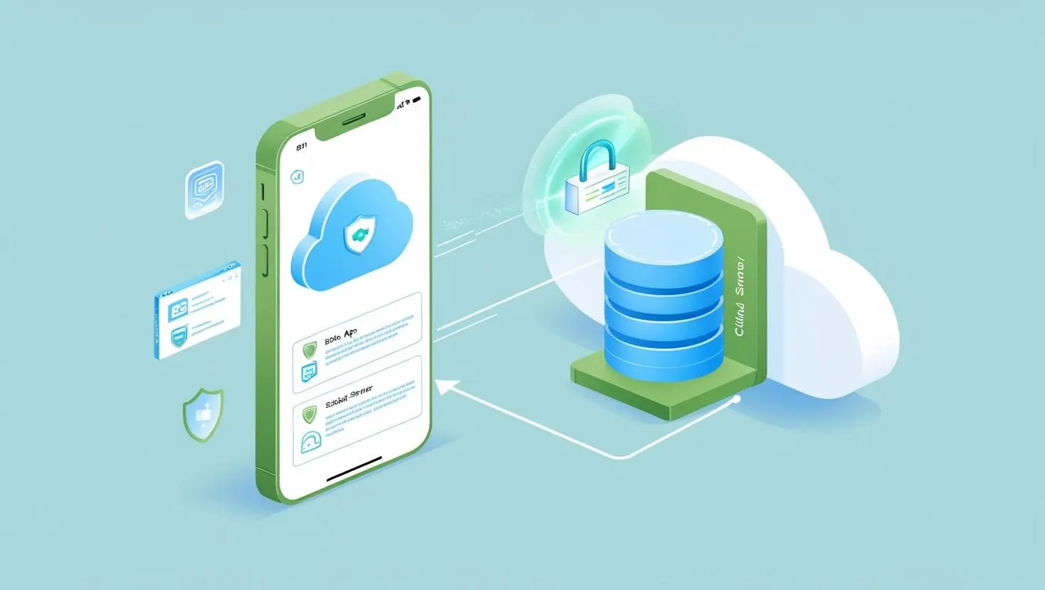
With a centralized web application, cloud server, and a companion mobile application, Smart Pipe 360 brings real-time pipeline intelligence to the hands of field teams and control room operators alike — enabling faster decisions, fewer failures, and lower operational costs.

Smart Modules

18 Smart Modules — One Integrated Platform

Every module helps companies plan, evaluate, monitor, and maintain their pipeline assets and field operations for the best operational outcomes.

Smart Dashboard

Visual representation of each module for better understanding and analysis — real-time KPIs and project health at a glance.

Smart Assets Management

Enables efficient tracking, monitoring, and optimization of pipeline assets throughout their entire lifecycle.

Smart Indent Management

Ensures efficient handling of official orders and requisitions for goods, streamlining procurement and inventory management.

Smart Complaint

Streamlines the process of logging, tracking, and resolving complaints to enhance customer satisfaction and operational efficiency.

Smart Employee Management

Streamlines attendance, task assignments, and performance tracking for efficient workforce management in the field and office.

Smart Pipe on GIS

Maps and manages geographically laid pipelines with precise GIS location data for efficient visualization and operational control.

⚙️

Smart Pump Management

Ensures pumps are properly maintained and fully functional — with scheduled maintenance tracking and performance monitoring.

📝

Smart WO Management

Smart Work Order Management streamlines the creation, tracking, and completion of work orders to enhance operational efficiency.

🏗️

Smart Site Management

Tracks attendance, manages assigned tasks, and monitors guest entries for effective site operations and on-site workforce management.

📒

Smart Contact Management

Streamlines communication by organizing and managing contact information efficiently across field teams and stakeholders.

Smart Leakage Deduction Management

Identifies and manages pipeline leaks efficiently using advanced detection technologies — reducing non-revenue water and losses.

🔩

Smart Pipe Management

Ensures that pipes are properly maintained and fully functional for optimal performance across the entire network.

Smart Approvals

Facilitates efficient and seamless approval workflows, ensuring decisions are timely and aligned with organisational standards.

Smart Safety Hub

Records visitor details and stores emergency information for employees to ensure safety and quick response in critical situations.

Smart Vision (CCTV)

Offers advanced monitoring and surveillance through intelligent camera systems integrated with the pipeline management platform.

📦

Smart Stock Management

Efficiently tracks and manages inventory to ensure optimal stock levels for pipeline maintenance and operations.

Smart Vehicle Management

Enables real-time vehicle tracking and data feed integration from trackers for improved fleet monitoring and field control.

Smart Schedule

Optimizes the planning and management of tasks, appointments, and resources to ensure efficient time utilization across operations.

Benefits

Integrated Pipeline Safety Monitoring

Smart Pipe 360 delivers integrated pipeline monitoring using technologically advanced distributed sensing, measurement instruments, and intelligent software — for continuous, proven, and trusted pipeline safety.

01

Integrated Solutions

Deliver integrated pipeline monitoring using technologically advanced distributed fiber-optic sensor cables, measurement instruments, and software.

02

1-Metre Accuracy

Identify leaks, intrusions, and deformations with unparalleled accuracy — within 1 metre — over the entire pipeline length for targeted, efficient repairs.

03

Continuous 24/7 Monitoring

Reduce downtime with systems that operate continuously and autonomously — providing alerts as soon as anomalies are detected, around the clock.

04

Reduce Environmental & Economic Liability

Prevent severe ecological consequences caused by leaks, reduce insurance costs, and minimize social and economic liabilities from pipeline failures.

05

Post-Event Safety Assessment

Evaluate possible damage and failures caused by extraordinary events — earthquakes, third-party tampering, explosions, or floods — immediately after occurrence.

06

Proven & Trusted Globally

Pipeline monitoring systems successfully installed and operated on pipelines worldwide. We are your trusted partner from system design through commissioning and training.

Pipeline Mapping Solution

GIS-Powered Pipeline Mapping

Effective pipeline planning and management require appropriate visualization of pipeline networks through mapping. With GIS data, we enable companies to take the right course of action for operational excellence of their pipeline-related requirements in water as well as oil and gas domains.

We implement the latest DGPS tools to accumulate information and generate accurate GIS maps of available resources, assets, and pipeline networks — equipping pipeline-based companies with an accurate digital database and effective geospatial maps.

🔒 Secure Simple Scalable

Lower Install Costs

With a single operating system, eliminate unnecessary spending on redundant hardware — invest in real-time information for optimal pipeline management.

Reduction of Operation Risk

Early detection of damage prevents dangerous structural faults on critical assets, reducing intervention times and repair costs significantly.

Flexible Design

Multiple detector applications provide the flexibility to customise a monitoring solution that satisfies the specific demands of your pipeline environment.

Types of Mapping Solutions

Water, Gas & Oil Distribution Mapping

Reliable GIS databases provide a pool of vital information for devising and implementing effective strategies for optimising water, gas, and oil-related pipeline operations.

Water Distribution Mapping

GIS analytics for water supply mapping, asset management, and network optimization.

  • High-resolution satellite imagery (30 cm and 15 cm HD) for environmental maps
  • DGPS survey and utility mapping of water distribution networks
  • Single-point-access system for efficient network performance analysis
  • Remote sensing to monitor pipeline condition and detect construction risks
  • Visual analytic dashboards with real-time project updates
  • Full REST Web API & built-in connectors for system interoperability

Gas Distribution Mapping

Adaptive GIS-based technology to map gas networks and improve operational efficiency.

  • GIS technology integrated with city gas distribution pipeline networks
  • Gas and land-based GIS survey, mapping, and IT application implementation
  • Distribution network monitoring and asset management
  • Pressure calculations and BoM generation at all nodes and lines
  • Routing optimised for maximum reach with minimum pipeline length
  • Network design to ensure supply pressure without over- or under-sizing

Oil Distribution Mapping

Advanced geospatial technology for oil pipeline surveillance and spill detection.

  • Adaptive GIS-based mapping of oil distribution networks and assets
  • Oil spill detection using SAR imagery — dark area detection and classification
  • UV and Infrared sensors mounted on aircraft for oil spill surveillance
  • SAR imagery with aircraft surveillance for cost-effective pipeline monitoring
  • DGPS survey and utility mapping for environment improvement programmes
  • Route surveys and analysis for large vehicle movement planning
GIS System Advantages

Why GIS for Pipeline Management?

GIS implementation transforms how utilities manage, maintain, and plan their pipeline infrastructure — from asset tracking to demand forecasting and leak response.

Asset management — locate pipeline assets such as main and service lines by tracking coordinates and calculating relative distances
Leak management and analysis are swifter — GIS provides faster response time by sharing incident information with the response team in real time
Consumer data storage — thematic maps identify future potential consumers and support pipeline network expansion planning
Demand and supply study through survey and mapping — supports expansion planning and prediction of future network growth
Produce calculations such as pressure, inlet quantity of gas, etc., and generate maps and BoM showing design parameters at all nodes
Flexibility to change the design to suit site conditions — with the ability to manually adjust automatically calculated locations
Identify weak sections of the pipeline — pipes subject to rust or corrosion requiring cathodic protection and segment replacement
Optimal DGPS location, service area and routing for substantial cost saving — plan routes for maximum reach with minimum length
Reduce network design time — critically size the network to ensure supply pressure at consumer and intermediate points
Pipeline network mapping using effective geospatial methods — identify land characteristics, obstacles, and Ground Control Points (GCPs)
Pipeline Intelligence

Smart Pipe 360 Reporting & Monitoring

Go beyond basic monitoring — Smart Pipe 360 provides actionable intelligence to identify weak links, prevent failures, and empower smarter asset management decisions.

Identify the Weak Links

Just because a pipeline is old doesn't mean it needs to be replaced. Structural monitoring identifies the small fraction of problematic pipes. Combining regular electromagnetic inspections with 24/7 monitoring is the most reliable way to safely extend the life of a PCCP pipeline.

Prevent Pipeline Failures

Stay ahead of failures in prestressed concrete cylinder pipe (PCCP) with continuous monitoring. Smart Pipe 360 alerts utilities to wire breaks in near real-time. An increasing number of wire breaks signals a weakening pipe — giving utilities the power to act before failure occurs.

Empower Smarter Decisions

Good data is the basis for smart decision-making. Monitoring the rate of wire breaks over time creates a clearer picture of pipeline degradation. This long-term structural health view helps utilities predict a pipe's remaining useful life with much greater confidence.

Pipe 360 Reporting Software

In-line inspection data is essential for managing pipeline integrity and reliability. Smart Pipe 360 reporting provides clear, intuitive access to asset conditions — allowing operators to view needed information anytime, anywhere. Enables combined visualisation of multiple inspection datasets.

Software Segments

Web & Mobile — Cloud-Based Platform

Smart Pipe 360 is available as both a centralised web application and a companion mobile app — both backed by cloud server infrastructure for real-time data access anywhere.

Centralized Web Application with Cloud Server

The Smart Pipe 360 web platform provides a full-featured control centre for pipeline monitoring, asset management, GIS mapping, reporting, and all 18 smart modules — accessible from any browser, backed by secure cloud infrastructure.

Mobile Application with Cloud Server

The Smart Pipe 360 mobile app puts pipeline management in the hands of field teams — enabling on-site data collection, work order management, attendance tracking, complaint logging, and real-time sync with the cloud server even in low-connectivity environments.

Jobsite Hardware

Field Hardware Integration

Smart Pipe 360 also provides purpose-built jobsite hardware — giving field teams the tools they need for accurate data collection, surveillance, and workforce tracking on site.

Location Pinning Device

Accurately pins locations, ensuring precise mapping for all pinned points across the pipeline network.

Tablet / Mobile Phone / PC

Enable seamless access to the Smart Pipe 360 software from anywhere in the field, ensuring flexibility and convenience for field teams.

GPS Vehicle Tracking

Tracks all vehicles in the field with installed tracking devices, displaying real-time tracking details on the software dashboard.

CCTV Setup

Utilizes a variety of surveillance devices tailored to specific field requirements for enhanced pipeline and site monitoring.

Remote Bio Matrix Device

Records attendance for workers in the field, ensuring an accurate count of on-site personnel for workforce management.

Sensor Devices

Monitors pipes with multiple sensors configured based on the specific pipe type used in the field — pressure, flow, and leak sensors supported.

FAQ

Frequently Asked Questions

Smart Pipe 360 is a subscription-based GIS platform for pipeline monitoring and surveillance — using a geospatial approach to help water, gas, and oil pipeline operators plan, evaluate, monitor, and maintain their pipeline assets. It includes 18 smart modules, a centralized web application, and a companion mobile app — all backed by cloud server infrastructure.
Smart Pipe 360 supports water distribution networks, city gas distribution networks, and oil pipeline monitoring — with sector-specific GIS mapping, leak detection, and operational management capabilities for each domain.
Smart Pipe 360 can identify leaks, intrusions, and deformations within an accuracy range of one metre over the entire pipeline length — enabling targeted inspections and repairs rather than broad network interventions.
Yes. Smart Pipe 360 provides a Full REST Web API and built-in connectors, making integration with your existing ERP, SCADA, UBARMS, billing, and other operational systems straightforward and reliable.
Yes. Smart Pipe 360 includes a mobile application with cloud server integration — enabling field teams to access pipeline data, log complaints, manage work orders, track attendance, and sync data from anywhere in the field.
Yes. IngrOInfo implements the latest DGPS tools to accumulate field data and generate accurate GIS maps of pipeline networks, assets, and resources — equipping pipeline operators with a precise digital database and effective geospatial maps for operational excellence.

Request a Demo

See Smart Pipe 360 in action — talk to our team for a product demonstration tailored to your pipeline network and requirements.

Karunakar K, Managing Director
#151, 10th Cross, Sector C, Amruthnagar, Bengaluru – 560092
Request a Demo →